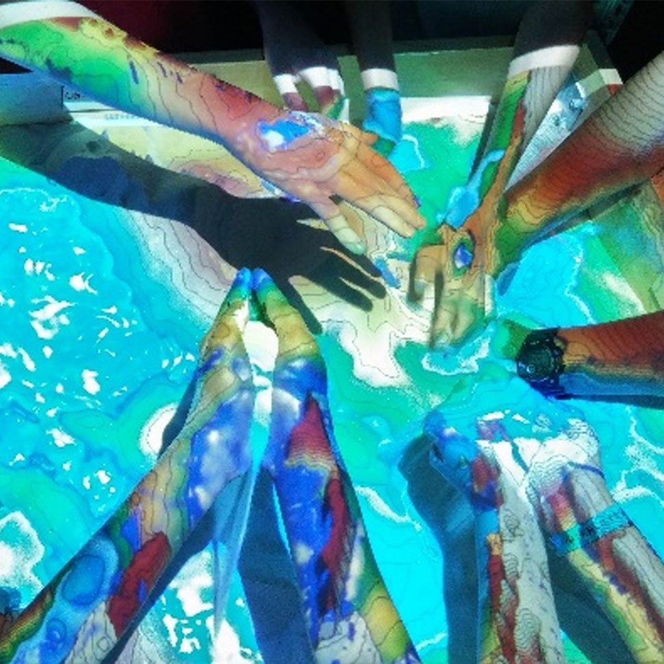
Digital Sandbox.
Integrating activities and models into an AR sandbox for teaching/learning and experimentation.
Ground and aerial sensors measuring physical quantities and acquiring remotely-sensed data.
Training and development in the integration and use of unmanned aerial systems.
Strategies for geovisualization and data exploration over space and time.
Incorporation of technologies into classwork.
Solutions implemented by students and for students.
Innovative approaches for data acquisition, exploration and discovery.
As a lab member of the Center for Geospatial Research (CGR) at UGA, DiGTL, along with its team of faculty and students, develops and integrates a variety of technologies to enhance our understanding of the world. We explore and integrate approaches for data acquisition, employing novel methods to collect, manipulate, visualize, and interact with data. Our tools address critical and contemporary issues in human-environment relationships and have been used to represent natural and built landscapes, including cultural resources.
Implementations and technology integration have a strong teaching/learning component and involve hands-on training of undergraduate and graduate students from multiple departments at the University of Georgia. Results are presented to the UGA/Athens community and beyond during classes, demonstrations, presentations and events.
Integrating activities and models into an AR sandbox for teaching/learning and experimentation.
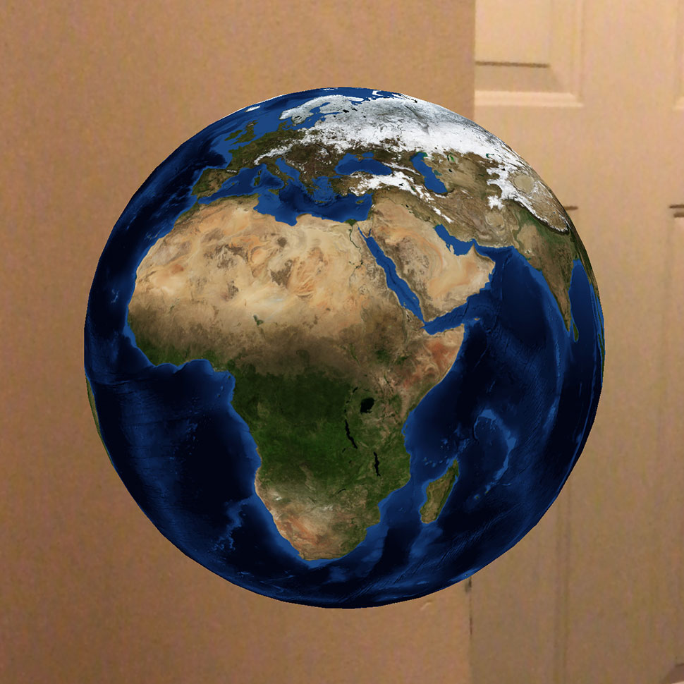
Shared augmentation of mobile devices for instruction and exploration.
Integrating augmented and mixed reality solutions through modeling.
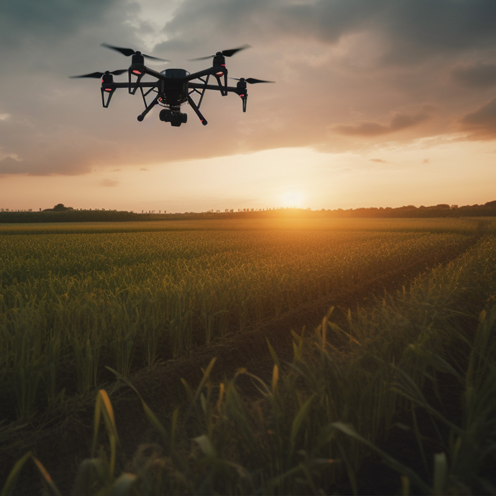
Expanding data acquisition capabilities and exploring remotely sensed data.
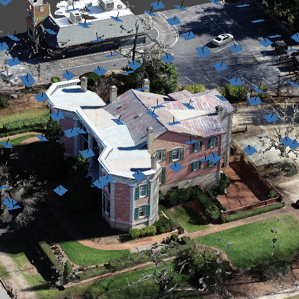
3D reconstrution of natural and built-in landscapes based on high-overlap imagery.

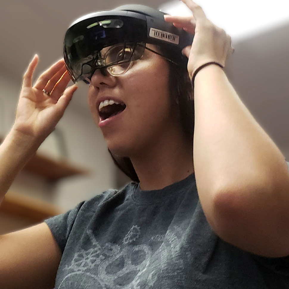
Immersive integration of AR & VR for landscape exploration.